Exploring the Interstellar Boundary

Five years ago today — October 19, 2008 — a Pegasus-XL rocket lofted a satellite designed to study the edge of the solar system.


(IBEX. NASA image from Wikimedia Commons.)

From its L-1011 cargo plane flying near Kwajalein Island in the Pacific Ocean, the Pegasus carried the IBEX (Interstellar Boundary EXplorer) satellite to orbit. The probe specifically monitors hydrogen and oxygen atoms in the vicinity of the heliosphere where the solar wind interacts with elements in interstellar space.

Facebooktwitterpinterestlinkedinmailby feather

Exploring the Evolution of Galaxies

Ten years ago today — April 28, 2003 — a Pegasus XL rocket carried a small spacecraft to probe the origin of stars and galaxies.


(A 2012 GALEX composite image of the Andromeda galaxy. NASA/JPL-Caltech image.)

Called GALEX, for GALaxy Evolution eXplorer, the spacecraft’s primary instrument was a telescope tuned to the ultraviolet part of the spectrum. With its mission now extended beyond the original 29-month timeline, GALEX is conducting “an all-sky imaging survey, a deep imaging survey, and a survey of 200 galaxies nearest to the Milky Way” in order to explore the origins of heavy elements, stars, and galaxies. You can find more information about the mission, including many stunning images, on this page

For more down-to-earth mapping purposes, on this date 5 years ago India launched CartoSat 2A, a remote-sensing satellite, along with 9 smaller spacecraft, from the Sriharikota launch center on a PSLV 9 rocket. Urban and rural planners use CartoSat’s data.

___

P.S. The full resolution JPEG (19.3 MB) of the Andromeda image above is here.

Facebooktwitterpinterestlinkedinmailby feather

Soft X-Rays and a Data Relay

Twenty years ago today — April 25, 1993 — the first satellite completely sponsored by the Department of Energy launched on a Pegasus booster, dropped from the wing of NASA’s B-52.


(ALEXIS satellite artist’s conception. NASA image from Wikimedia Commons.)

The Array of Low Energy X-Ray Imaging Sensors (ALEXIS) satellite’s primary instrument was an X-ray telescope array tuned to “ultrasoft” X-rays for making a sky map in that part of the electromagnetic spectrum, as well as the “Blackbeard” VHF receiver “for studying the effect of lightning and electromagnetic impulse from exploding [nuclear] devices on the ionospheric transmission.”

During its flight, one of the satellite’s solar array paddles was damaged, and controllers could not establish contact with the spacecraft for 3 months. Once they established contact, they had to develop specific attitude control procedures to bring the satellite under control, after which the spacecraft performed well although “the astronomy data needed a full pointing and aspect solution in order to be interpreted.”

And, to complete the promise implied by the title of this post: 5 years ago today — April 25, 2008 — China launched its first data-relay satellite, Tianlian 1, on a Long March 3C rocket from Xichang Launch Center.

Facebooktwitterpinterestlinkedinmailby feather

Pegasus Carries Solar Explorer

Fifteen years ago today — April 1, 1998* — a Pegasus XL originating from Vandenberg AFB carried a small satellite to study the Sun’s atmosphere.


(Coronal “loops” above the Sun’s surface, in a false-color image from TRACE. NASA image.)

The Transition Region And Coronal Explorer, or TRACE, carried a single multi-spectral instrument to

examine the three-dimensional magnetic structures which emerge through the Sun’s photosphere (the visible surface of the Sun) and define both the geometry and dynamics of the upper solar atmosphere (the transition region and corona).

In more detail, TRACE was built to achieve three primary objectives:

  1. follow the evolution of magnetic field structures from the solar interior to the corona;
  2. investigate the mechanisms of the heating of the outer solar atmosphere; and,
  3. determine the triggers and onset of solar flares and mass ejections.

The effectiveness of TRACE’s telescopic sensor was due to its sophisticated attitude control system, which combined magnetic-torquers, reaction wheels, and inertial gyros to maintain its pointing accuracy within 5 arc-seconds.

The TRACE mission lasted until June 2010, and produced some stunning images of our Sun.

___

*April 2nd UTC.

Facebooktwitterpinterestlinkedinmailby feather

Pegasus Carries Student Satellite to Orbit

Fifteen years ago today — February 25, 1998 — a Pegasus XL rocket launched a student-built satellite to track variations in nitric oxide pollutants in the atmosphere.


(Student Nitric Oxide Explorer integrated on the Pegasus launch vehicle. University of Colorado LASP image.)

The Student Nitric Oxide Explorer (SNOE) was built by University of Colorado students, under a program managed by the Universities Space Research Association.

Flying out of Vandenberg AFB, the Pegasus XL was dropped from its L-1011 carrier aircraft and propelled SNOE and the Broadband Advanced Technology Satellite (also known as BATSAT and later as Teledesic 1) into orbit.

The SNOE mission lasted nearly 6 years; the satellite de-orbited in December 2003. You can learn more about SNOE at this University of Colorado Laboratory for Atmospheric and Space Physics page .

Facebooktwitterpinterestlinkedinmailby feather

Solar Observer Rides a Pegasus

Ten Five years ago today — January 25, 2003 — a Pegasus XL rocket carried the SOlar Radiation and Climate Experiment (SORCE) satellite to orbit.


(SORCE during pre-launch integration. Orbital Sciences Corporation image from the University of Colorado SORCE page.)

The SORCE Sun-Earth Connection observation system was developed to measure incoming energy from the Sun for the purpose of studying its effects on climate change. Its instruments measured total solar radiation, including visible light, ultraviolet, infrared, and x-rays.*

The Pegasus rocket that carried the spacecraft to orbit was dropped from its L-1011 “mothership” after flying out of Cape Canaveral.

You can find more information about SORCE on its University of Colorado page.

___
*Bonus points to anyone who can tell me, without Googling, why I listed them as “ultraviolet, infrared, and x-rays.”

Facebooktwitterpinterestlinkedinmailby feather

Space History: Saturn, Soyuz, Space Tourism, Pegasus, and Clouds

Today’s space history starts a half-century ago — on April 25, 1962 — with a Saturn-1 suborbital test launch out of Cape Canaveral.


(SA-2 launch. NASA image from Wikimedia Commons.)

Mission SA-2, or “Project High Water,” flew water-filled upper stages atop a Saturn-1, which was the Saturn-V first stage. The upper stages were blown up near the apogee of the suborbital flight, creating an “artificial cloud.” According to this NASA history page, “This was used to study the effects on radio transmission and changes in local weather conditions. At an altitude of 150km, explosive devices ruptured the S-IV and S-V tanks and in just five seconds, ground observers saw the formation of a huge ice cloud estimated to be several kilometers in diameter.”

Having nothing to do with clouds, on April 25, 2002, Soyuz TM-34 launched from the Baikonur Cosmodrome on a ferry flight to the International Space Station (ISS). In addition to its working crew of Russian cosmonaut Yuri P. Gidzenko and Italian astronaut Roberto Vittori, it carried South African Mark R. Shuttleworth as the second commercial space tourist.

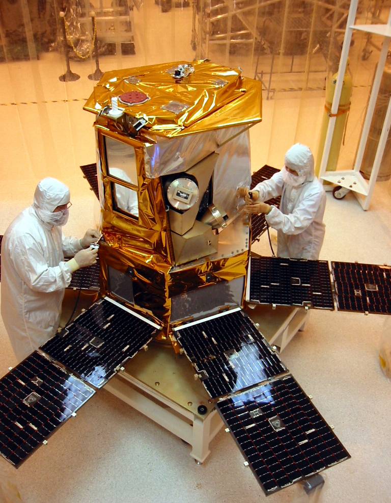
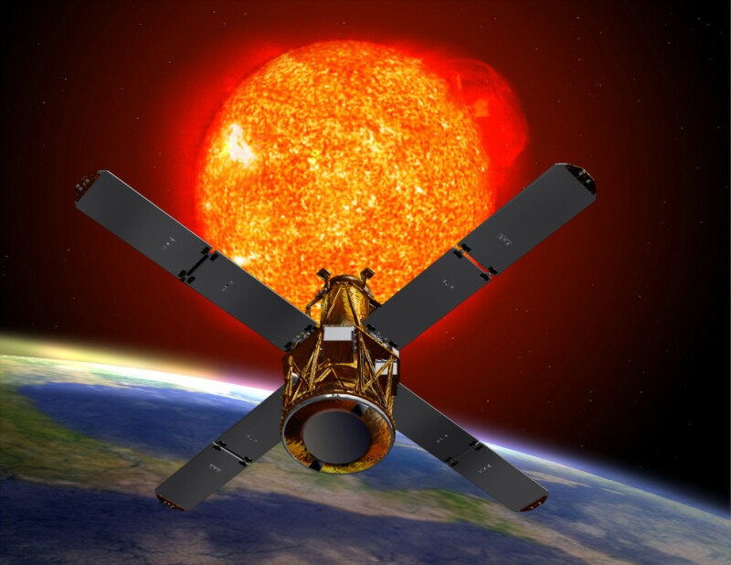
Finally, on this date 5 years ago, a Pegasus XL rocket launched from its L-1011 carrier aircraft flying out of Vandenberg AFB, carrying the AIM (Aeronomy of Ice in Mesosphere) satellite. The small spacecraft’s mission brings us back to the topic of clouds, as it was built to study “Polar Mesospheric Clouds (PMCs) that form about 50 miles above the Earth’s surface in summer and mostly in the polar regions.”

Facebooktwitterpinterestlinkedinmailby feather

Riding a Pegasus To Observe the Sun

Ten years ago today — February 5, 2002 — a Pegasus-XL rocket launched a solar flare observatory into orbit. The Pegasus’s L-1011 carrier aircraft flew out of Cape Canaveral for this launch.


(Artist’s conception of HESSI. NASA image.)

About two months after being launched, the High Energy Solar Spectroscopic Imager, or HESSI, was renamed the Reuven Ramaty High Energy Solar Spectroscopic Imager (RHESSI). It is still on-orbit and functioning today.

As some folks know, the Pegasus is special to me because I was on the Flight Readiness Review Committee for the first-ever live launch. And this seems a timely bit of space history, given the big solar flare that occurred about a week ago.

And in bonus space history: on this date 25 years ago, cosmonauts Yuri V. Romanenko and Aleksandr I. Laveykin launched from the Baikonur Cosmodrome on mission Soyuz TM-2. Romanenko eventually spent 326 days in space aboard the Mir space station, establishing a world record.

Facebooktwitterpinterestlinkedinmailby feather

A FAST Launch, and the Hugo Awards

Fifteen years ago today — August 21, 1996 — a Pegasus-XL rocket launched the “Fast Auroral SnapshoT explorer” to study how particles funneled through the Earth’s magnetosphere produce auroras.

(FAST satellite, after installation of its body-mounted solar panels. NASA image.)
FAST was placed in a polar orbit, the better to observe auroras, in an interesting configuration: the craft is spin-stabilized but its spin axis is perpendicular to its orbital track, so it would appear to roll or “cartwheel” through space. Its Pegasus launch vehicle originated out of Vandenberg AFB, and was carried to the Pacific drop zone by its L-1011 mothership.

In more recent news — tangentially space-related, since the Hugo Award features a stylized rocket ship — last night my friend Mary Robinette Kowal won the Hugo for Best Short Story: “For Want of a Nail”, which appeared in the September 2010 issue of Asimov’s. The complete list of Hugo winners is available here.

Several other writing friends — Rachel Swirsky, Aliette de Bodard, and Eric James Stone — were also nominated for Hugos, and two — Larry Correia and Saladin Ahmed — were nominated for the Campbell Award … which is pretty awesome even though they didn’t win.

But, as I posted to Larry on Facebook, even though he didn’t win I’m pretty sure he’s the only nominee with a song written about his book.

Facebooktwitterpinterestlinkedinmailby feather

Monitoring Ozone from Orbit

Fifteen years ago today — July 2, 1996 — a Pegasus-XL rocket lofted a small meteorological satellite into orbit.


(Ozone map based on TOMS data. NASA image.)

The Total Ozone Mapping Spectrometer-Earth Probe, or TOMS-EP (or sometimes EP/TOMS), spacecraft operated until late 2005, and measured the distribution of ozone throughout the Earth’s atmosphere. The data set is quite extensive; if you’re curious, from this page you can find an historical record of ozone measurements for a location near you.

Facebooktwitterpinterestlinkedinmailby feather